Display Title
Math Clip Art--Geometry Concepts--Geometry Tools--Polar Coordinate Grid
Display Title
Math Clip Art--Geometry Tools--Polar Coordinate Grid

Topic
Geometry Concepts
Description
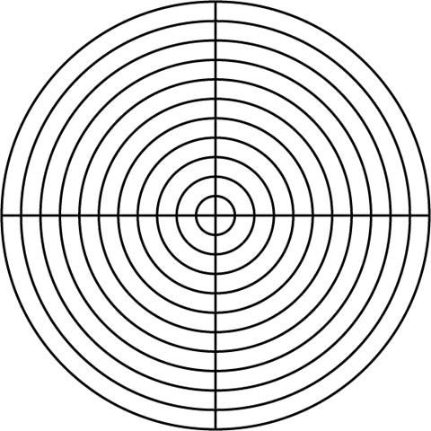
This image features a polar coordinate grid, a tool used to represent points in a plane using a radius and an angle. Polar coordinates offer an alternative to Cartesian coordinates, particularly useful for circular and rotational problems.
Polar coordinate grids are used in fields like physics, engineering, and navigation to solve problems involving circular motion and angular relationships. They provide a unique perspective on spatial relationships and are essential for understanding complex mathematical concepts.
Teacher's Script: "Examine this polar coordinate grid. How do the radius and angle help us locate points in space? What are some real-world applications of polar coordinates, such as in engineering or navigation?"
For a complete collection of math clip art related to Geometry, click on this link: Math Clip Art: Geometry Concepts Collection.
| Common Core Standards | CCSS.MATH.CONTENT.6.G.A.3 |
|---|---|
| Grade Range | K - 12 |
| Curriculum Nodes |
Geometry • Coordinate Geometry • Applications of Coordinate Geometry • Coordinate Systems • Points and Lines • Applications of Points and Lines |
| Copyright Year | 2014 |
| Keywords | Polar Coordinate Grid, clip art, polar coordinates |